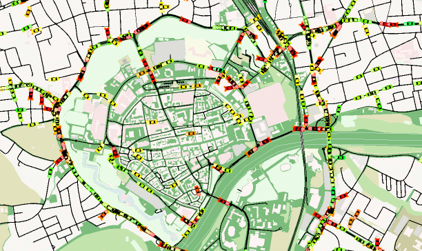
Traffic simulation of Ingolstadt in SUMO
Data and Resources
-
SUMO-Simulation on GitHuburl
https://github.com/TUM-VT/sumo_ingolstadt
-
SAVeNoW News Pagehtml
This catalog entry is linked to others. To see all relationships please click here or click on the tab "Relationships" at top of this page.
Additional Info
| Field | Value |
|---|---|
| Author |
|
| Maintainer |
|
| Language | English |
| Version | |
| Start des Gültigkeitszeitraumes | 2023-04-14 |
| Ende des Gültigkeitszeitraumes | |
| Spatial extent |
Dataset extentMap data © OpenStreetMap contributors
Tiles by Stamen Design (CC BY 3.0)
|
| spatial | {"type":"MultiPolygon","coordinates":[[[[11.391329,48.796014],[11.37003,48.754835],[11.421561,48.727214],[11.490269,48.748045],[11.48065,48.78199],[11.435302,48.797371],[11.415377,48.803703],[11.391329,48.796014]]]]} |
| Benutzerdefiniertes Feld |

