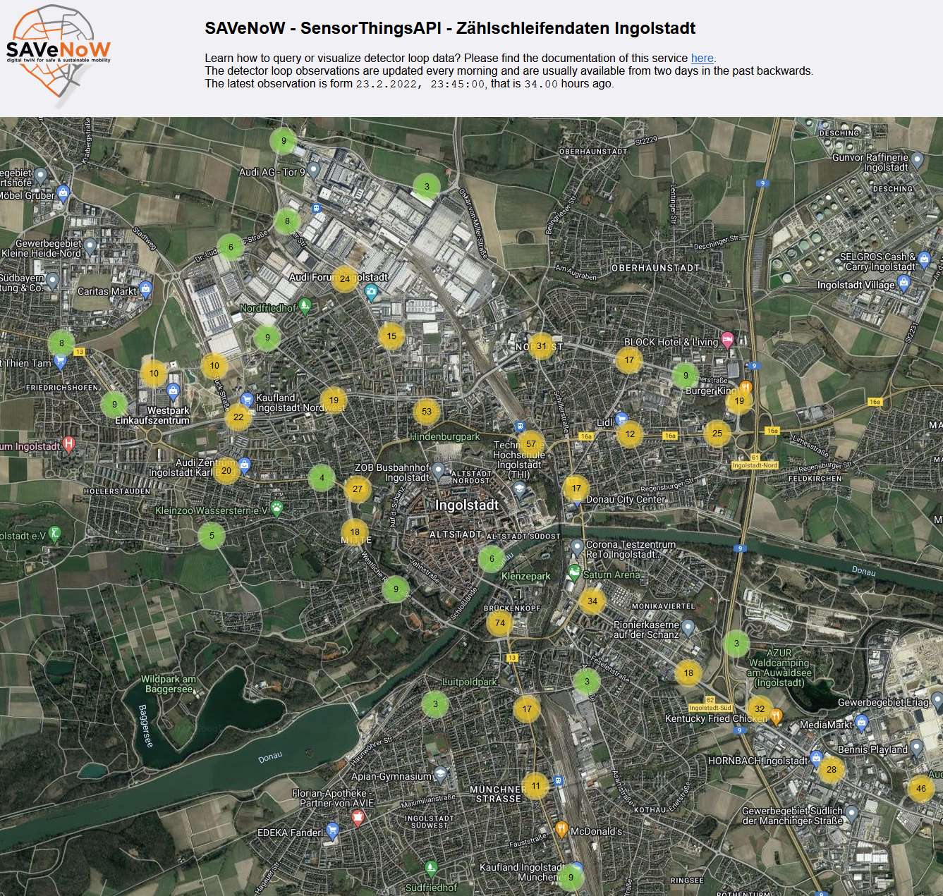
Detector Loop Map in Ingolstadt
Data and Resources
-
Detector Loop Maphtml
Link to the Detector Loop Map
-
Documentation for project partnershtml
SensorThingsAPI Documentation in Confluence Audi Tool Username and Password...
-
Dokumentation TUMhtml
Dokumentation for Managing detector loop data from Ingolstadt using open...
This catalog entry is linked to others. To see all relationships please click here or click on the tab "Relationships" at top of this page.
Additional Info
| Field | Value |
|---|---|
| Author |
|
| Maintainer |
|
| Language | |
| Version | |
| Start des Gültigkeitszeitraumes | |
| Ende des Gültigkeitszeitraumes | |
| Spatial extent |
Dataset extentMap data © OpenStreetMap contributors
Tiles by Stamen Design (CC BY 3.0)
|
| spatial | {"type":"MultiPolygon","coordinates":[[[[11.368349,48.726982],[11.368349,48.803472],[11.503017,48.803472],[11.503017,48.726982],[11.368349,48.726982]]]]} |
| Benutzerdefiniertes Feld |

