SAVeNoW - Story Map
Daten und Ressourcen
-
SAVeNoW Story map for guided explorationhtml
Link to the Story Map online application. It is publicly accessible.
-
Map web application for interactive...html
To view the map, you need proper access credentials. To obtain the password...
Zusätzliche Informationen
| Feld | Wert |
|---|---|
| Autor |
|
| Verantwortlicher |
|
| Sprache | Deutsch |
| Version | |
| Start des Gültigkeitszeitraumes | |
| Ende des Gültigkeitszeitraumes | |
| Räumliche Ausdehnung |
Räumliche AusdehnungMap data © OpenStreetMap contributors
Tiles by Stamen Design (CC BY 3.0)
|
| spatial | {"type":"MultiPolygon","coordinates":[[[[11.352091,48.707587],[11.352091,48.795415],[11.552515,48.795415],[11.552515,48.707587],[11.352091,48.707587]]]]} |
| Benutzerdefiniertes Feld |

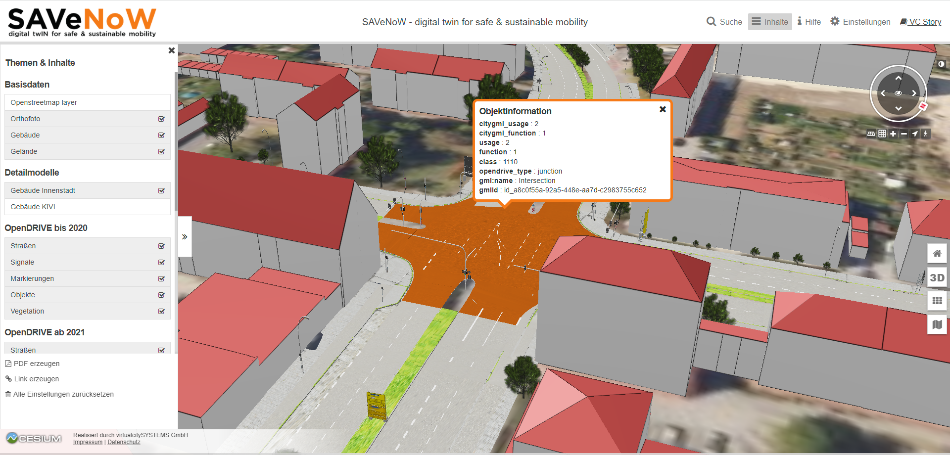
 Figure 1: View of the storymaping tool in which the combinations of different data types are displayed
 Figure 2: Map view in which an object has been selected and the saved metadata are displayed